Elstree Airfield
| Flyveplads London Elstree London Elstree Aerodrome | ||||||||||
 Set fra flyvepladsen. | ||||||||||
| Beliggenhed | ||||||||||
|---|---|---|---|---|---|---|---|---|---|---|
| Land | UK | |||||||||
| Amt | Hertfordshire | |||||||||
| By | Elstree | |||||||||
| Kontakt information | 51 ° 39 '21' nord, 0 ° 19 '33' vest | |||||||||
| Højde | 101 m (331 fod ) | |||||||||
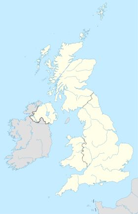
Geolocation på kortet: Storbritannien
| ||||||||||
|
||||||||||
| Luftfartsinformation | ||||||||||
| ICAO-kode | EGTR | |||||||||
| Lufthavnstype | civil | |||||||||
| Manager | Aldenham Aviation LLP | |||||||||
| Lufthavnswebsted | At konsultere | |||||||||
London Elstree Airfield ( ICAO : EGTR ) er en flyveplads beliggende ved Elstree , der ligger 3 miles øst for Watford , Hertfordshire , England .
Denne lufthavn er licenseret, som tillader flyvninger til offentlig transport af passagerer eller instruktionsflyvning som godkendt af licensindehaveren (Aldenham Aviation LLP).
Situation
Aktiviteter
Flyvepladsen blev civil igen i 1946 og er siden blevet brugt af flyvende klubber og private piloter.
Referencer
- Civile luftfartsmyndigheds almindelige licenser til flyveplads


